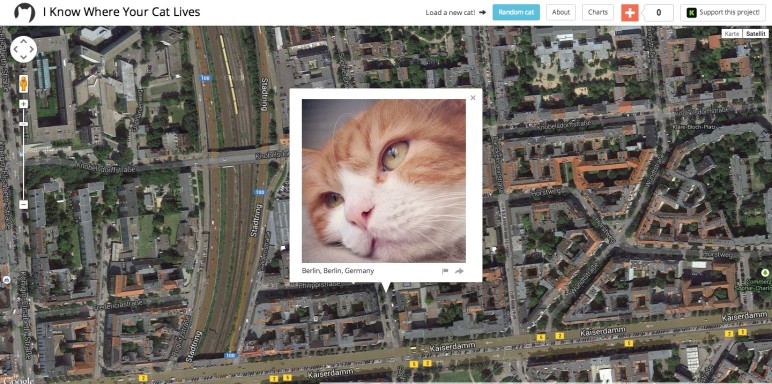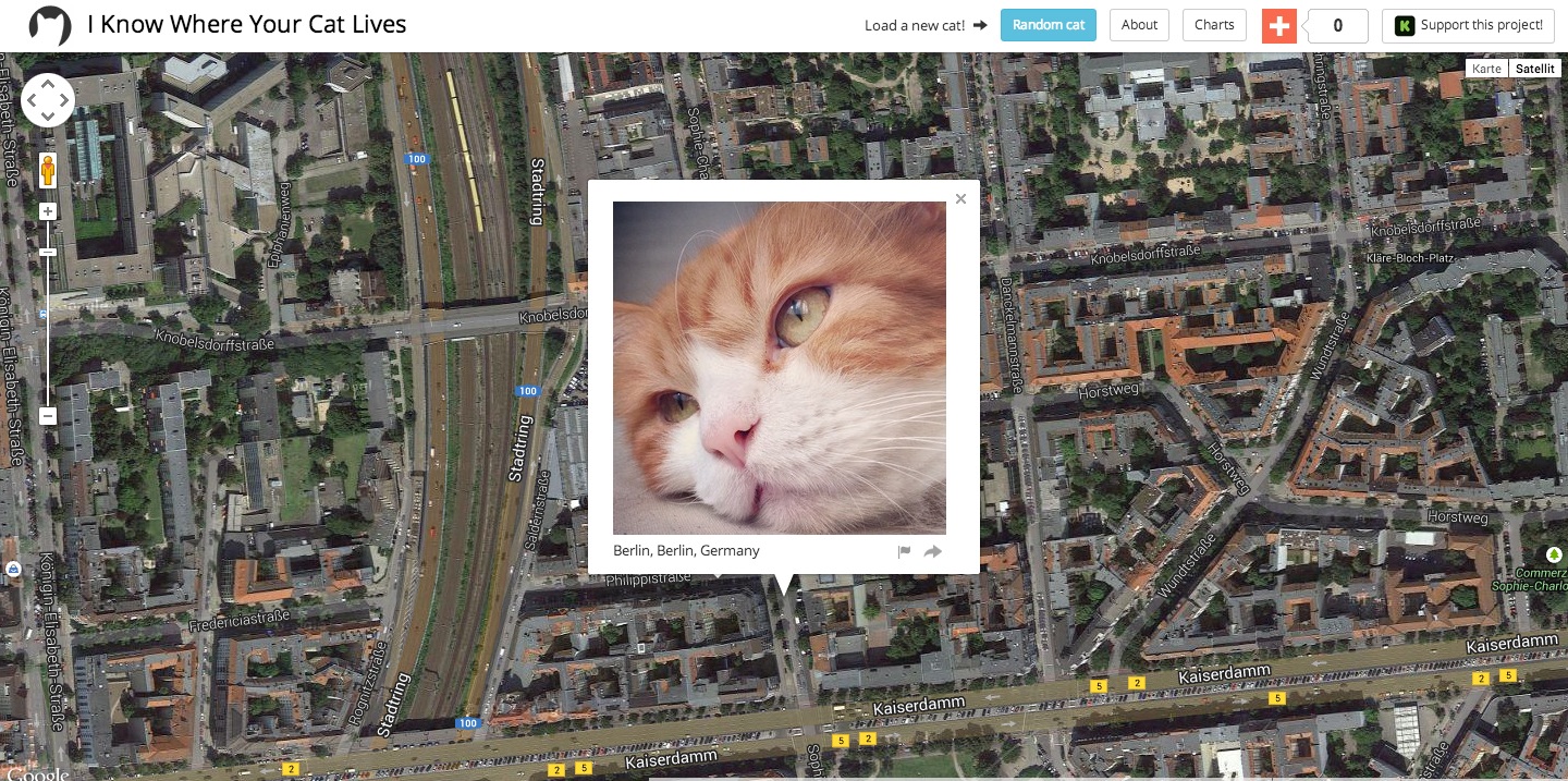
Das hier ist ziemlich interessant. Auf der Website ‚I know where your cat lives‚ von Owen Mundy kann man sich Bilder von Katzen mit Geotags anschauen. Anhand dieser Geotags wurden die Katzenbilder dann der Location auf Google Maps zugeordnet. Sprich: Wer weiß wo meine Katze wohnt, weiß wo ich wohne. Sieht man ja oben auf der Karte.
„I Know Where Your Cat Lives“ is a data experiment that visualizes a sample of 1 million public pics of cats on a world map, locating them by the latitude and longitude coordinates embedded in their metadata. The cats were accessed via publicly available APIs provided by popular photo sharing websites. The photos were then run through various clustering algorithms using a supercomputer at Florida State University in order to represent the enormity of the data source.
This project explores two uses of the internet: the sociable and humorous appreciation of domesticated felines, and the status quo of personal data usage by startups and international megacorps who are riding the wave of decreased privacy for all. This website doesn’t visualize all of the cats on the net, only the ones that allow you to track where their owners have been.
What is the point of all this?
We set out on this adventure with a mission in mind: to point out the ease of access to data and photos on the web. We sought to showcase how readily available social media users’ information and snapshots are to the general public.“
Und, ist eure Katze auch dabei?
//via Motherboard//


Kunstprojekt ‘I know where your cat lives’ und meine Katze Barnabas ist dabei http://t.co/pEYqzuhhCA #GPBlog
Joko ist nicht dabei.
Kunstprojekt ‘I know where your cat lives’ und meine Katze Barnabas ist dabei http://t.co/hgdx4c51nn
[…] (via) […]
spielerei mit metadaten: geogetaggte pics von katzen auf googlemaps angucken: http://t.co/aAmZxEO1JT | http://t.co/QxpRwdYktX #privatsphäre